Three: SR-415
talk about backbone!
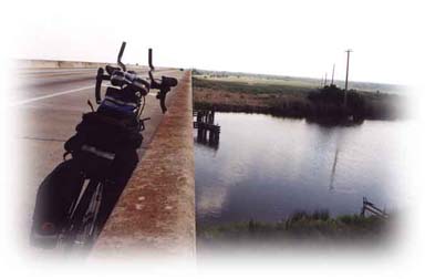
Now for the ride you’ve been waiting for: seventeen & a half miles of smooth sailing through beautiful open country.
In Osteen there’s a Subway at the northwest (opposite) corner of the intersection where you can catch your breath at a window booth. (The next convenience store rest-stop is at the end of your 415 run.) Continuing north along this beautiful stretch you’ll find your own speed picking up on the glass-smooth, broad marked shoulders.
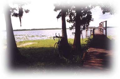
About two thirds of the way up see the Alamana loop on the right. About a mile in along the loop you’ll find the Lake Ashby Boat Ramp, with plenty of possibilities for an enjoyable rest-stop beside this pristine lake. Further on down that loop you’ll come upon the entrance to Lake Ashby County Park. But beware: unless you have a mountain bike, plan to bog down in soft sand and hike the rest of the way in & back out on the 2-mile access road. It happened to me and I don’t recommend the trip though I did welcome the covered picnic areas & restrooms that appeared just in time
during a downpour.
When you see a second radio tower looming ahead on the right you know the end’s in sight of your longest leg out to the ocean. You’ll be turning right onto SR-44 at the light. But before you do, a Citgo with another Subway beckons across the street for a last rest-stop. There are outdoor tables at this one.